Category:Maps of subdivisions of New Zealand
Jump to navigation
Jump to search
| NO WIKIDATA ID FOUND! Search for Maps of subdivisions of New Zealand on Wikidata | |
| Upload media |

Subcategories
This category has the following 7 subcategories, out of 7 total.
Media in category "Maps of subdivisions of New Zealand"
The following 10 files are in this category, out of 10 total.
-
 Avon Road Board, 1864.jpg 7,024 × 9,481; 29.18 MB
-
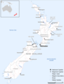
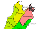 Nelson City Council region.png 390 × 302; 36 KB
-
 New Zealand Administrative Divisions.jpg 1,979 × 2,596; 881 KB
-
 New Zealand Base Map.png 752 × 998; 274 KB
-
 New Zealand North Island Counties and Districts Map 1981.jpg 8,192 × 9,884; 93.66 MB
-
 New Zealand Territorial Authorities 2017, Chathams inset.svg 1,454 × 2,103; 881 KB
-
 New Zealand Territorial Authorities 2017.svg 2,005 × 2,103; 870 KB
-
 NZ Regional Councils and Territorial Authorities 2017.svg 1,380 × 1,746; 1.82 MB
-
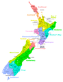
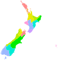 NZ Regional Councils.svg 1,668 × 1,748; 400 KB
-
 NZTerritorialAuthorities.png 872 × 1,142; 68 KB


